Global cloud fraction map based on data collected by the Moderate Resolution Imaging Spectroradiometer MODIS on NASAs Aqua satellite x

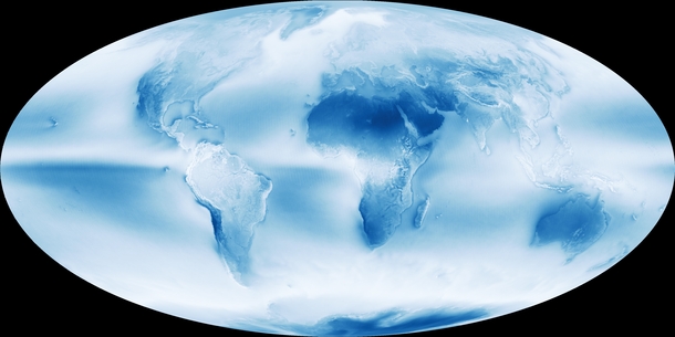
Tags: space, global, cloud, fraction, based, data, collected, moderate, resolution, imaging, spectroradiometer, modis, nasas, aqua, satellite


Prev Next Slideshow
(You can use your keyboard arrow keys )
  • 0

    Water flowing in Fundy National Park Collection


    View Collection

Top Photos


More liked picsHot Pics